UIUC Center for Digital Agriculture wins $20M award from National Artificial Intelligence Research Institutes program to accelerate AI research and agricultural Innovation through new AIFARMS Institute.
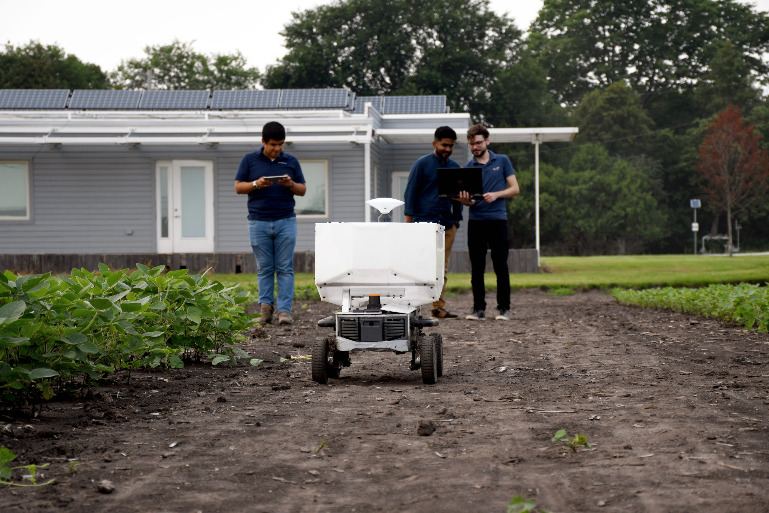
UIUC Center for Digital Agriculture wins $20M award from National Artificial Intelligence Research Institutes program to accelerate AI research and agricultural Innovation through new AIFARMS Institute.
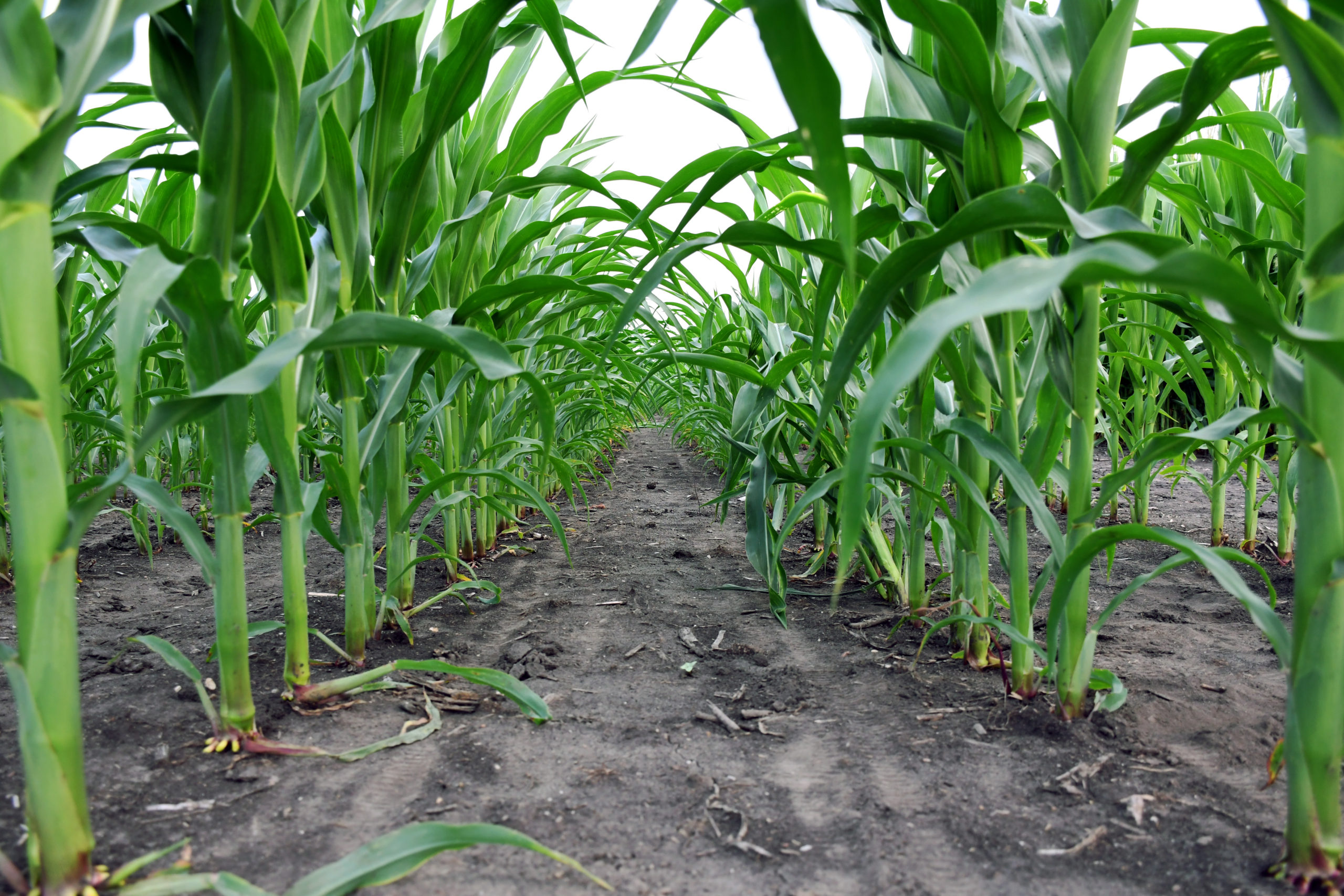
The funded projects will span nearly every facet of digital agriculture, from crop sciences to deep learning.

A Cornell University researcher taps work he did using NCSA’s Blue Waters supercomputer to fix a problem that’s puzzled researchers for nearly 40 years.
The NCSA Faculty Fellowship is a competitive program for faculty and researchers at the University of Illinois which provides seed funding for new collaborations that include NCSA staff as integral contributors to the project.
Katelyn Barbaraer, a former Blue Waters Graduate Fellow from the University of North Dakota, is using supercomputers to help the aviation industry better evaluate turbulence
The Center for Risk-Based Community Resilience Planning, hosted at Colorado State University, has been granted a five-year extension from the National Institute of Standards and Technology (NIST).
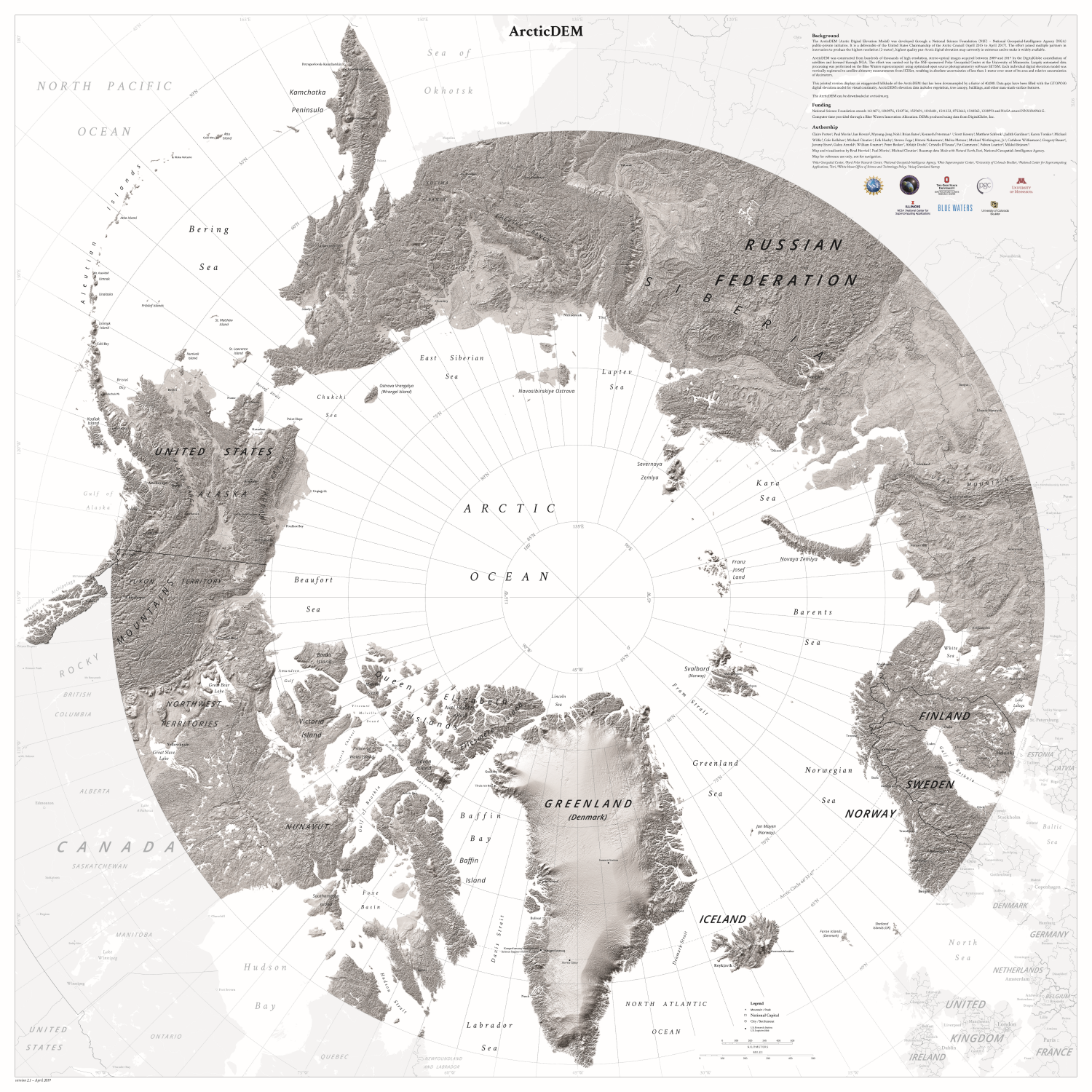
The National Center for Supercomputing Applications (NCSA) at the University of Illinois at Urbana-Champaign has announced a new collaboration between the Blue Waters Project, the National Geospatial-Intelligence Agency (NGA), the University of Minnesota and The Ohio State University to produce digital elevation models (DEM) of the entire Earth
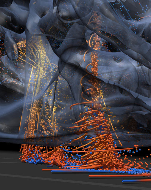
Researchers from the University of Illinois at Urbana-Champaign collaborated with visualization experts at NCSA in an effort to shed light on how the most violent tornadoes form and to create animations that reveal the inner behavior of tornado producing storms.